I left the phone in the car.
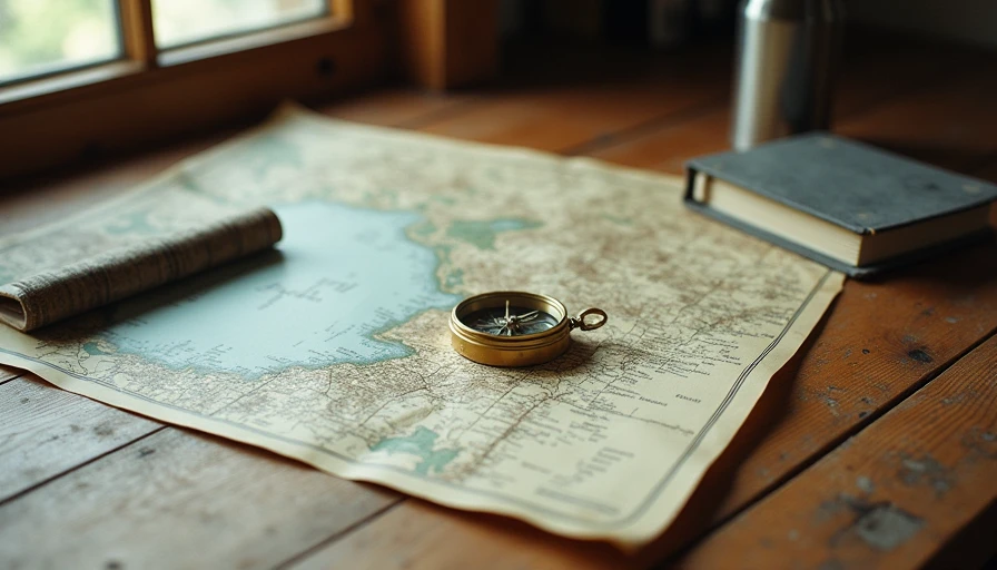
Not powered off in a pocket. Not on airplane mode. Actually left behind. In its place I carried a paper map of the Marin Headlands, a compass I halfway trusted, and the kind of water bottle that does not track anything.
It was not a statement. It was a short experiment: what happens to the experience of a familiar place when the usual layer of digital certainty is removed.
The First Hour
The Headlands are not wilderness. They are a well-trafficked park just across the Golden Gate, full of marked trails, other hikers, and occasional rangers. Getting seriously lost is difficult. That was part of the point. The risk was low enough that the experiment could stay about attention rather than survival.
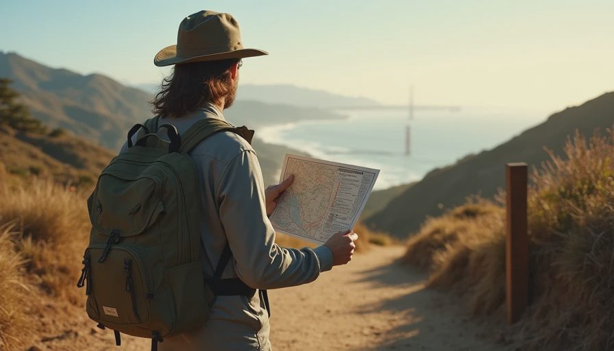
Still, the first hour felt different. Without the blue dot, every junction required a pause. I had to orient the map, match the contour lines to the land, and decide. The decisions were small, but they were continuous. There was no quick glance at a screen to confirm I was still on the “right” path.
I took a few wrong turns early. None of them mattered. Each one forced me to look harder at the actual terrain—the way the ridge fell away, the position of the ocean, the angle of the afternoon light—instead of at a simplified graphic of it.
What the Map Demanded
A paper map does not update. It does not recalculate. It does not tell you that a better route exists two hundred meters ahead. It only sits there with the information it has, waiting for you to interpret it.
That interpretation takes effort. You have to notice landmarks. You have to keep a rough running sense of how far you have come and how the topography is changing. You make small predictions and then test them against what appears around the next bend.
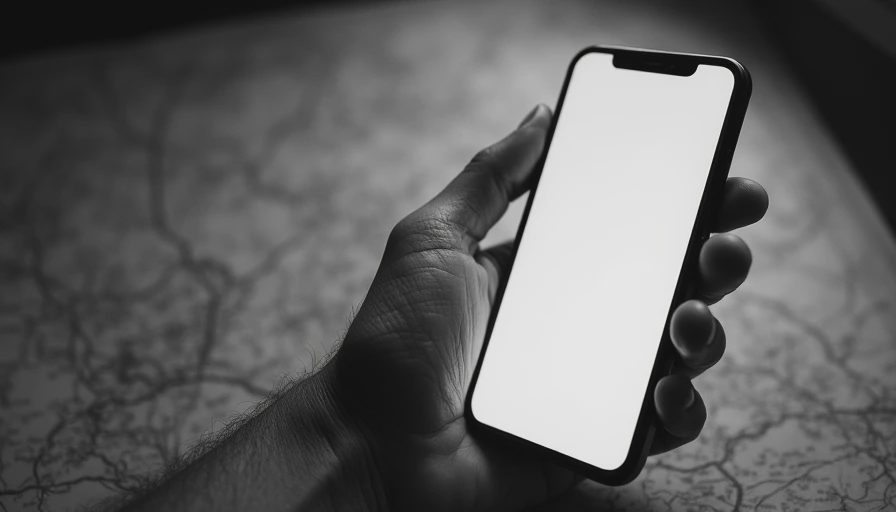
The phone version of the same hike collapses most of that work into a single moving dot and a highlighted line. The cognitive load drops. So does the texture of the experience. You spend less time reading the land and more time confirming that you are still correctly following the line.
I am not against the efficiency. I use GPS on longer or unfamiliar trips. But the difference in attention was obvious once it was gone.
What I Noticed Instead
Without the phone I heard more. Not in a poetic way—just literally more. Wind in the coastal scrub. The occasional foghorn. Footsteps on gravel. Conversations of people passing in the other direction. The absence of the usual micro-checks (time, messages, the unconscious urge to see if anything had arrived) left more bandwidth for the ordinary sounds of the place.
I also moved differently. There was less of the slightly hurried pace that comes from knowing exactly how far remains and how long it should take. The map gave distances, but converting those distances into lived time required estimation. The hike expanded a little. Not because it was longer, but because it was less compressed by constant measurement.
The Limits of the Experiment
This was one weekend on familiar trails close to a major city. It proves nothing universal. Bad weather, true remoteness, or a genuine emergency would have changed the calculation. I am not interested in pretending that paper maps are morally superior or that GPS is a moral failure.
What the weekend showed more clearly was how much of my usual outdoor attention is mediated. The phone does not only provide location. It provides a continuous sense of being located, of being on track, of being able to summon information the moment any uncertainty appears. Removing that layer did not make the landscape more beautiful. It made my presence in it slightly more complete.
What I Brought Back
I still carry a phone on most hikes. I still use GPS when the margin for error is thin. I also keep a paper map of the Headlands in the car now, and on shorter local outings I sometimes leave the phone behind again.
The point was never to abandon the tool. The point was to feel the difference when it was absent, so the choice to bring it became more deliberate.
You need less than you think. Sometimes the most useful orientation device is the one that forces you to look up.